Producing geometry
3D Mapping & Reality Capture
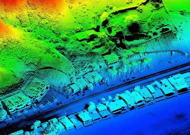
We fly, drive and scan the site ourselves — drone LiDAR, photogrammetry, mobile mapping and ground penetrating radar — and turn what comes back into terrain, city, asset and sub-surface models you can measure against, along with the GIS database work underneath them.
What we deliver