
// Projects

From physical environment to virtual environment.

Five projects showing how we turn survey data, BIM and geospatial layers into something a team can actually open and use.

// All projects

Every project, and what we actually built.

Showing all 5 projects

BIM & Digital Twins

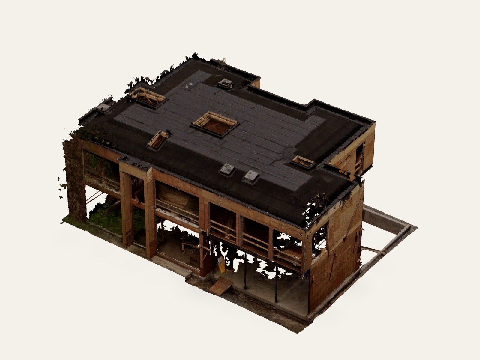
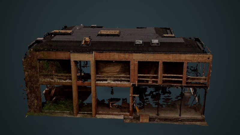
As-Built 3D Survey — New Build, Toronto

Toronto, ON · Interactive case study

A new Toronto building captured while the structure was still exposed, delivered as an as-built Revit model. Compare the photogrammetry mesh, the LiDAR point cloud and the BIM model side by side in the browser.

View more detail

BIM & Digital Twins

Digital Twin & Infrastructure Asset Management

Coming soon

A digital twin platform that models physical infrastructure assets in real time, combining BIM and geospatial data to support condition monitoring, predictive maintenance and long-term asset planning.

Case study coming soon

Urban Computing

Road Surface Monitoring From Smartphone Sensors

Coming soon

A smartphone-sensor system that detects and classifies road surface anomalies such as potholes and cracks, letting municipalities prioritise maintenance from low-cost, crowd-sourced data.

Case study coming soon

Urban Computing

Smart Parking Application

Coming soon

A smart parking mechanism that reduces cruising time across multiple parking facilities using infinite-horizon look-ahead, so drivers are routed to a space instead of circling for one.

Case study coming soon

GIS Mapping

Disaster Management

Coming soon

A rapid-response GIS built to map hazard zones, coordinate field teams and visualise live incident data, cutting response planning time during large-scale emergencies.

Case study coming soon