

Forest Hill South, Toronto
Pre-backfill foundation record
A foundation scanned with LiDAR and drone before it was buried, handed over as a 3D record to open, measure and annotate.
Reality capture · BIM & digital twins · Urban analytics
Drone LiDAR, photogrammetry, mobile mapping, GPR and as-built survey, handed back as Revit, CAD and point-cloud deliverables, with an optional browser viewer for your project team.

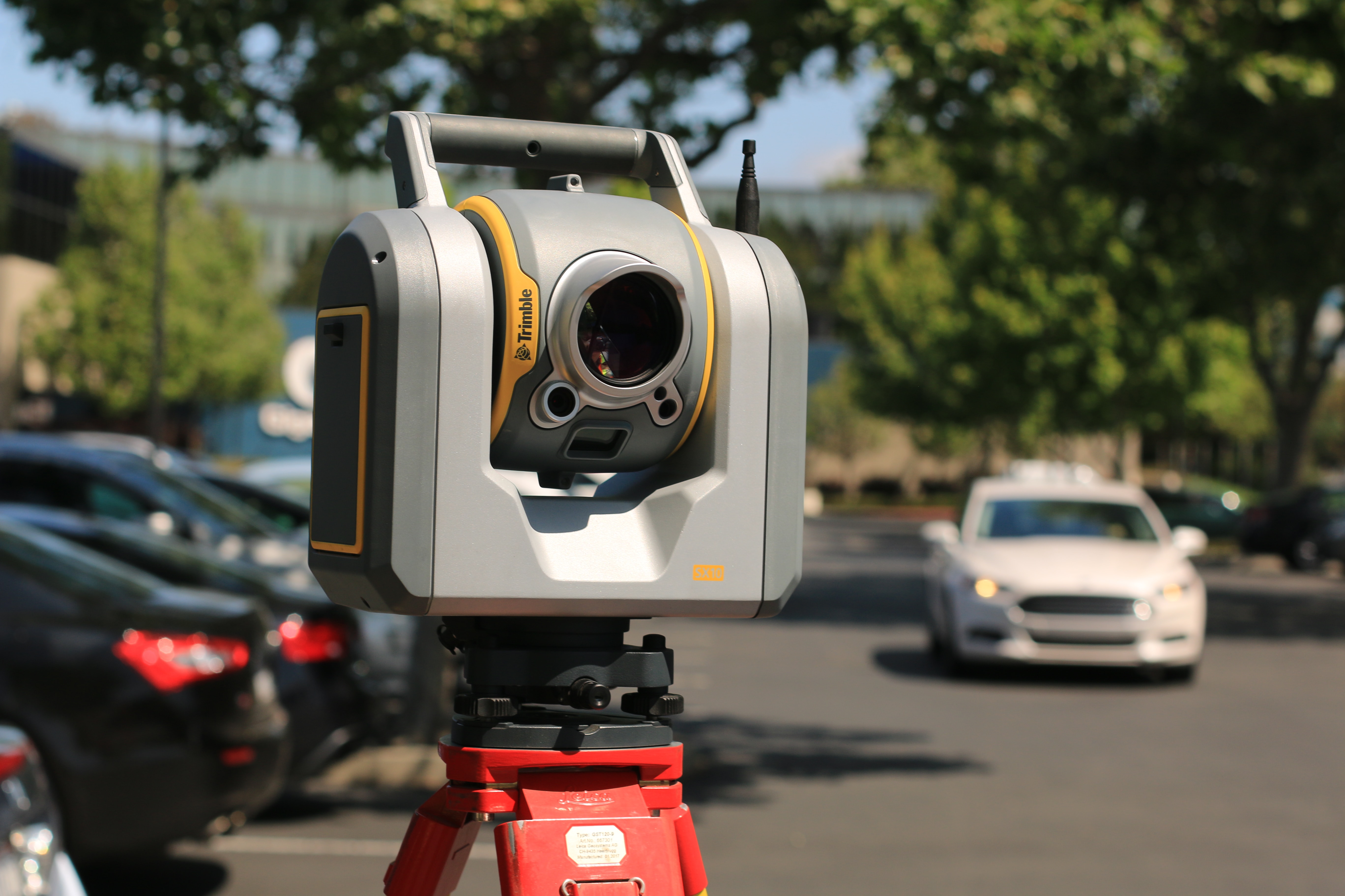
We fly it, drive it and scan it — drone LiDAR, photogrammetry, mobile mapping and ground penetrating radar — then turn what comes back into terrain, city and asset models you can measure against. Above ground and below it.
BIM and GIS held together as a digital twin that stays current instead of expiring at handover. Heavy Revit, IFC and point-cloud files become a browser link your facilities team can actually open.


How a city actually behaves — where it grows, how people move through it, what its infrastructure is being asked to carry. Sensor pipelines, forecasting and condition scoring, ending in a dashboard rather than a dataset.


// Try it here
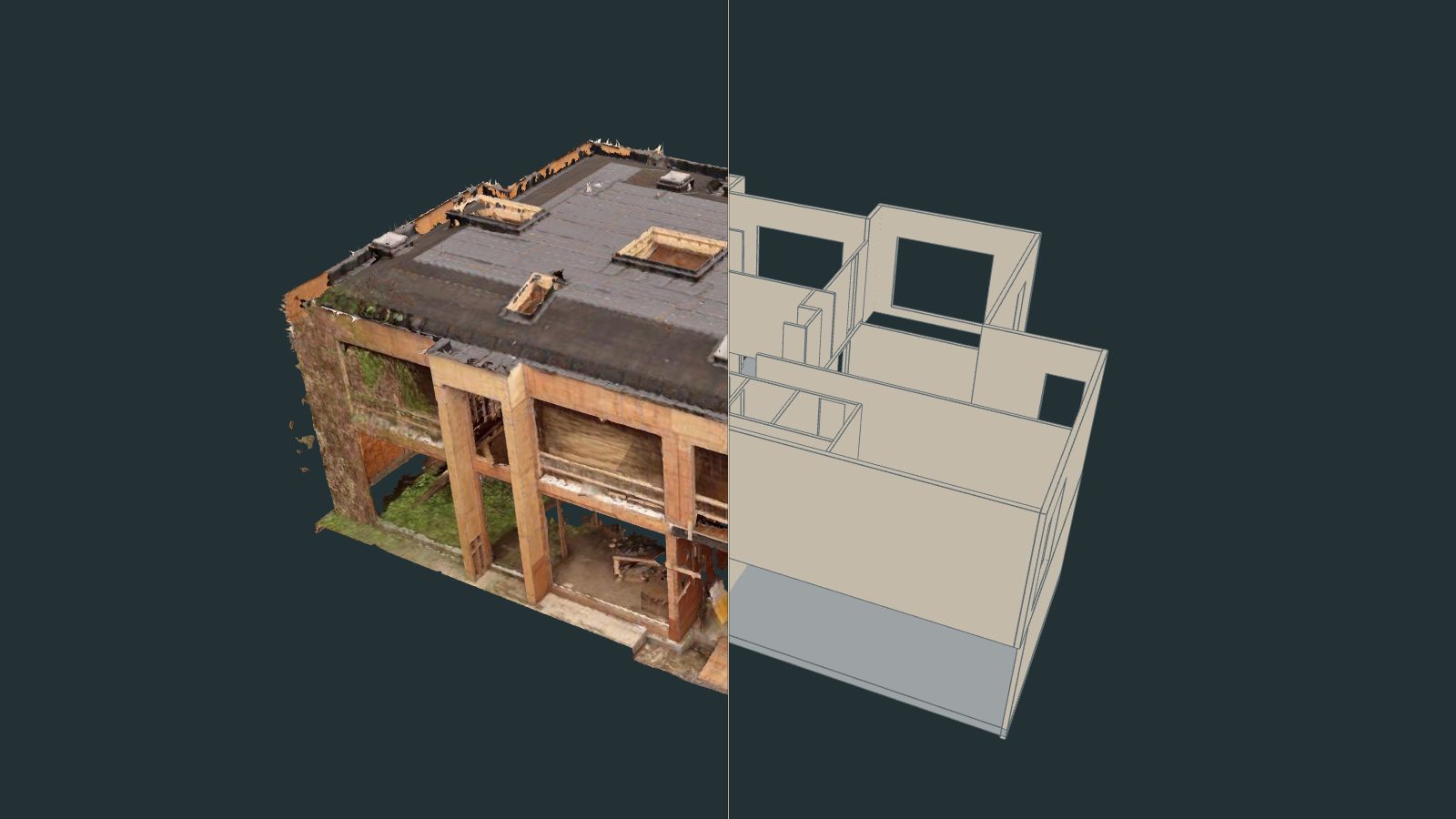
The scan of a new build in the Bridle Path on one side, its as-built BIM model on the other. The same viewer our clients open from a link.
5 MB model · loads on request
Drag the divider to compare the captured building with the BIM model, and drag the view to turn it. See the project →
// Real jobs, start to finish
Two captures, each in 55 seconds: what we flew and scanned, and the 3D record the client opens in a browser.
Forest Hill South, Toronto
A foundation scanned with LiDAR and drone before it was buried, handed over as a 3D record to open, measure and annotate.
Bridle Path, Toronto
A new build captured mid-construction from the air and the ground: the point cloud, the textured model and the 3D model, side by side.
We help you when location matters for you.

Customers express their service needs and preferences, indicating the specific service they require by filling up the service request form. Click Get started to start the process.
Based on the customer's request, a formal agreement is created, outlining service details and terms, ensuring clarity and mutual understanding before service execution.
The service provider executes the service as per the agreed-upon terms in the contract, meeting the customer's expectations and delivering the desired service.





For inquiries or assistance, please reach out to us. Our team is ready to provide support and answer any questions you may have. We are committed to ensuring a seamless experience for all our clients.
